Speak With Our Experienced Drone Expert
Explore the world of solar panel inspections with top-tier drones! From the impressive DSLRPros Matrice 350 RTK to the portable DJI Mavic 3 Thermal, and the versatile Autel EVO II Dual 640T, there's something here for everyone. Learn more about our curated selections and how you can elevate your inspection process!


10 Ways Drones Benefit Solar Panel Inspection
| Efficiency | Drones have the ability to cover large areas quickly, streamlining the inspection process. In contrast, manual inspections are often labor-intensive and can take a considerable amount of time. |
| Cost Savings | By using a solar panel inspection drone, you can significantly reduce the costs associated with inspections. With fewer workers needed for the job and faster inspection times, drone inspections lead to less budgetary strain for solar farm operators. |
| Safety | Operators and engineers carrying out the inspection can remotely assess solar panels without the need for dangerous climbs or the use of heavy equipment, reducing the risk of workplace accidents and injuries. |
| High-Quality Imaging | Drones equipped with high-resolution cameras can capture detailed images of solar panels, making it easier to identify damage, dirt, or defects that may not be visible to the naked eye. This can be especially helpful in spotting small issues before they snowball and cause irrevocable damage. |
| Thermal Imaging | Drones with thermal imaging cameras that can detect "hotspots" on solar panels where energy may be getting wasted due to damage or other issues. This technology helps operators identify areas in need of repair or replacement. |
| Accurate Data Collection | Capture precise data, including GPS coordinates, altitudes, and angles of images with the help of integrated drone software, like Pix4D and DJI Terra. You can also set up automated flight paths for drones, so they can carry out thorough and repeatable inspections of your panels. |
| Preventative Maintenance | Regular drone inspections can identify potential issues before they become major problems, enabling operators to perform preventative maintenance and extend the lifespan of the panels. |
| Real-Time Insights | Drones being piloted on-site transmit images and data in real-time, for operators to quickly assess and address any issues they identify during the inspection. Immediate insights mean faster responses and solutions. |
| Improved Documentation | Drones create comprehensive digital records of solar panel inspections, making it easier to track changes over time and compare the condition of panels across different inspection periods. This can be helpful for further analysis, warranty claims, insurance purposes, and overall system management. |
| Minimized Downtime | With faster inspections, maintenance or repair work can be scheduled promptly, minimizing downtime and maximizing the energy production of the solar panels. |
Benefits of Drones for the Solar Industry
Inspecting Solar Panels with Thermal Drones
How To Inspect Solar Panels Using A Drone
8 Applications Of Drones For Solar Panel Inspections
| Damage Assessment | With a drone for solar panel inspection, you can quickly detect damage like cracks or broken panels even in extensive solar arrays. Drones with high-res drone cameras can pick up even the smallest details, making finding problems a breeze. |
| Thermal Imaging | Our drones equipped with thermal imaging cameras are perfect for identifying "hotspots" or areas of excessive heat on solar panels. These can indicate defects or inefficiencies in the system. |
| Soiling Analysis | Using a drone solar panel inspection method, you can easily detect and assess the buildup of dirt, dust, and debris on solar panels. This is important because such build-up can reduce their efficiency over time. |
| Maintenance Inspections | Drones can perform routine maintenance inspections effectively. This means that solar farm operators can catch problems early and fix them before they get worse, saving money on costly repairs down the road. |
| Performance Verification | After maintenance or repairs, use a solar panel inspection drone to verify the proper functioning of solar panels and ensure all issues have been resolved. This helps in maintaining consistent energy output. |
| Inverter and Equipment Inspection | In addition to solar panels, drones can also inspect inverters and other related equipment. This comprehensive inspection ensures your entire solar system is in optimal condition. |
| Large-scale Solar Farm Assessment | Our drones can efficiently assess large-scale solar farms, helping operators monitor the condition of thousands of panels swiftly and effectively. |
| Building-Integrated Solar Inspections | For solar panels integrated into awnings or canopies over walkways and entrances, those across multiple levels or sections of the roof, all through to technologies like solar windows – drones offer an accessible and safe way to inspect these hard-to-reach installations. |
Integrating Drone Solutions into Solar Panel Inspections | DJI
Solar Panel Inspection with DJI Matrice 30T - DSLRPros Training
Learn About the Technology of Solar Panel Inspection
When looking for a solar panel inspection drone, there are several important factors to consider. Key among them is the type of imaging technology employed. For instance, thermal imaging can reveal areas of a solar panel that are experiencing excessive heat due to issues such as faulty wiring or micro-cracks in the cells. Another important consideration is the drone's resolution, as higher-resolution images can reveal finer details and allow for more accurate analysis. Safety features, flight time, battery capacity, the kind of remote control used and integrated software – they all factor into the choice made.
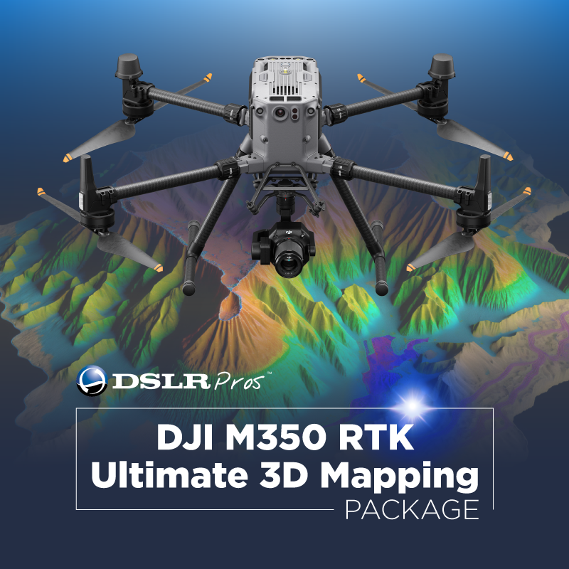
DSLRPros offers a range of solar panel inspection drones equipped with the latest imaging technologies and features to help you get the job done right. Let’s start off with the DSLRPros Matrice 350 RTK Ultimate 3D Mapping Package. The drone itself features Built-In RTK for centimeter-level accuracy, a Zenmuse P1 Full-Frame Camera for high-resolution imaging is part of the package, as well as DJI Terra Mapping Software for seamless data integration. With the included DJI Enterprise Care and one day of FREE in-person training, you'll have everything you need to get started with drone solar panel inspection.
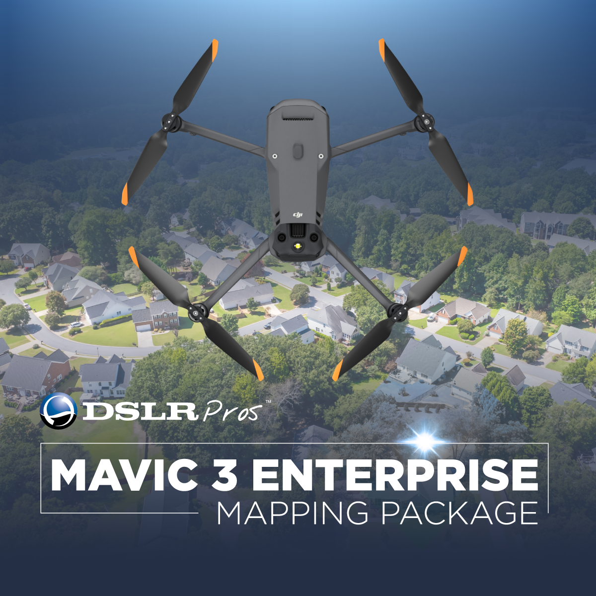
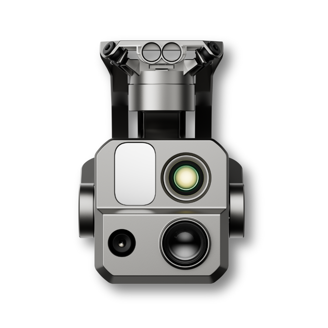
Another impressive offering is the DJI Mavic 3 Thermal, a compact and portable drone weighing only 920 g. It features a 61° DFOV and 640 × 512 px thermal camera, a 56x hybrid zoom, and a 45-minute maximum flight time. Its omnidirectional obstacle avoidance ensures safe flight even in challenging environments. The DJI Mavic 3 Thermal is a reliable and powerful option for solar panel inspection.
The Autel EVO II Dual 640T Enterprise Bundle V3 comes on board with a 640*512 high-resolution thermal imaging camera and a 13-mm focal length lens with 4k HDR & 16x digital zoom. It has multiple temperature measurement modes and a powerful infrared thermal analysis tool, making it well-suited for solar panel inspection. The package also includes two spare batteries, a loudspeaker, spotlight, and strobe, ensuring you have all the tools you need for successful inspections.
With the the Teledyne FLIR SIRAS Combo you get an American-made drone with no geofencing and dual thermal and visible cameras. It features a Vue TV128 radiometric thermal camera, a 16MP visible camera, and a 128x zoom. The drone takes off in less than 60 seconds and has a 31-minute max flight time. Its hot-swappable batteries and quick-connect swappable gimbal make it a versatile and efficient option for solar panel inspection.
Bring efficiency, safety, and cost savings to your solar panel inspections. Check out our drones today, and for any queries, reach out at (877) 299-1075, (213) 262-9436, or sales@DSLRPros.com.
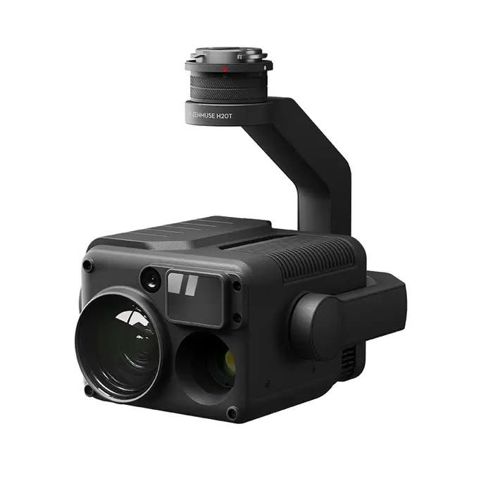
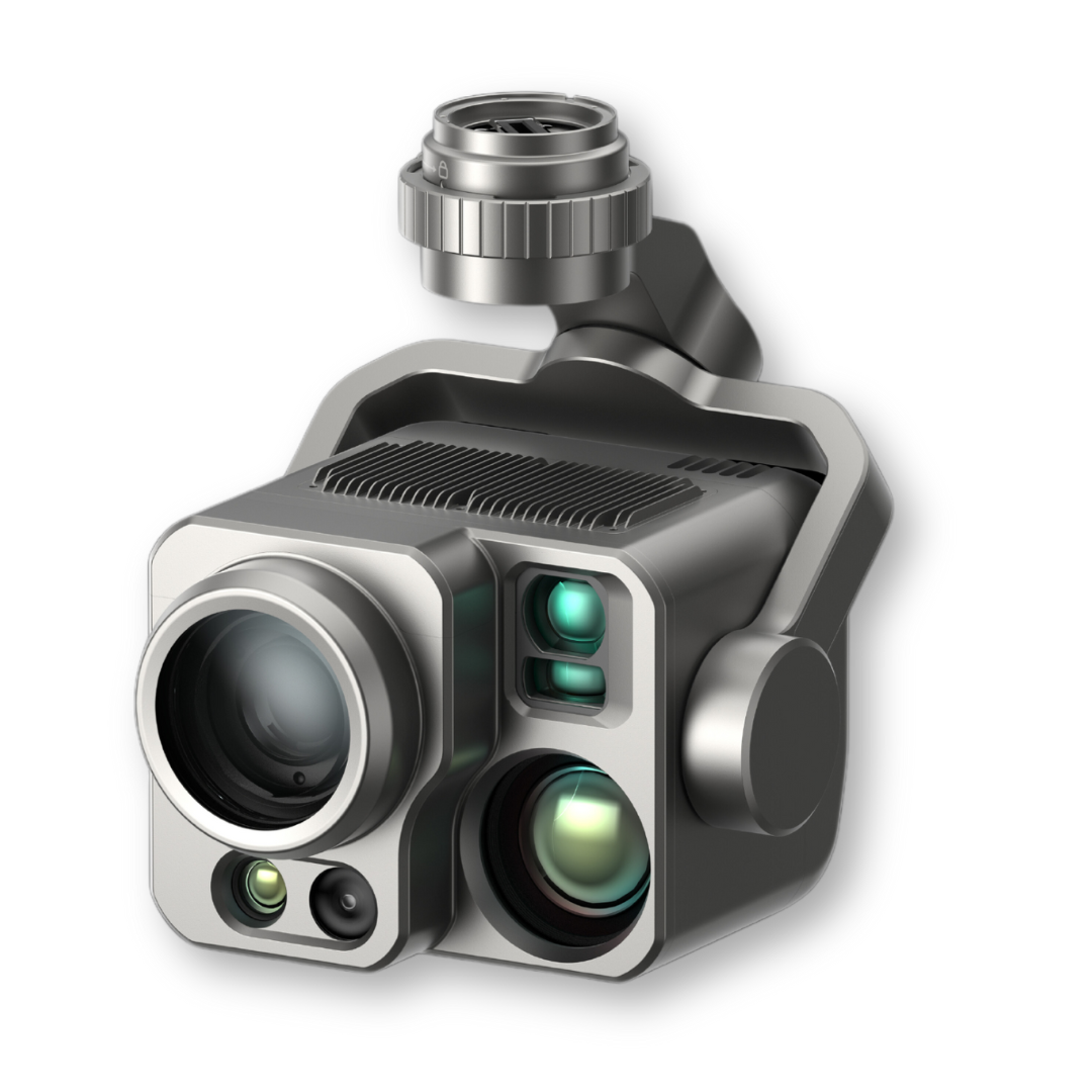
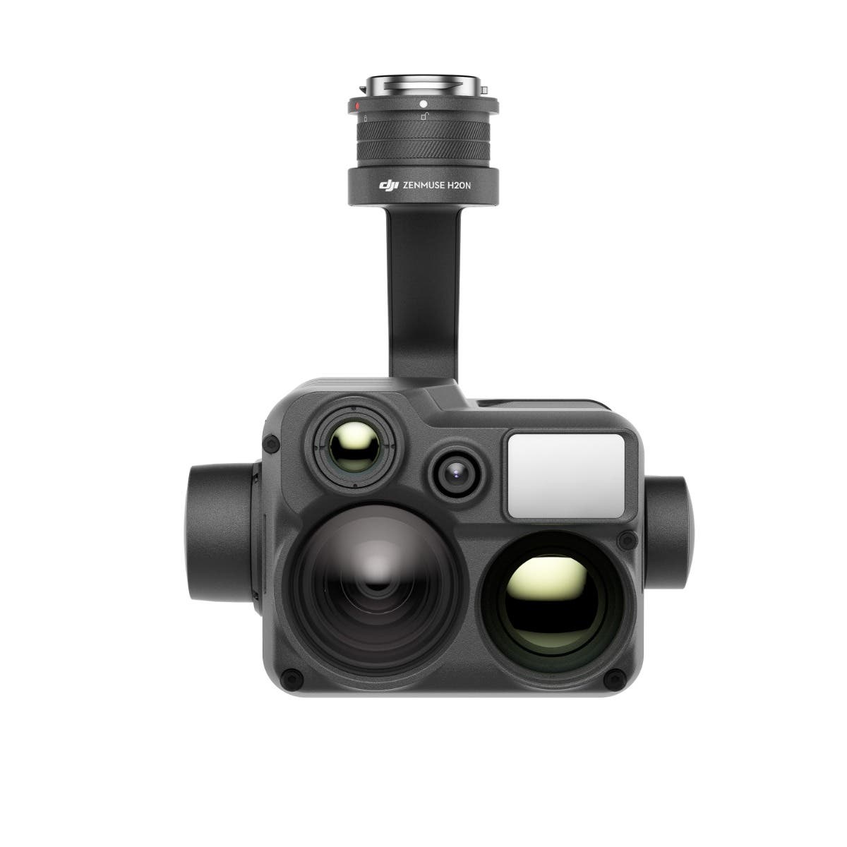
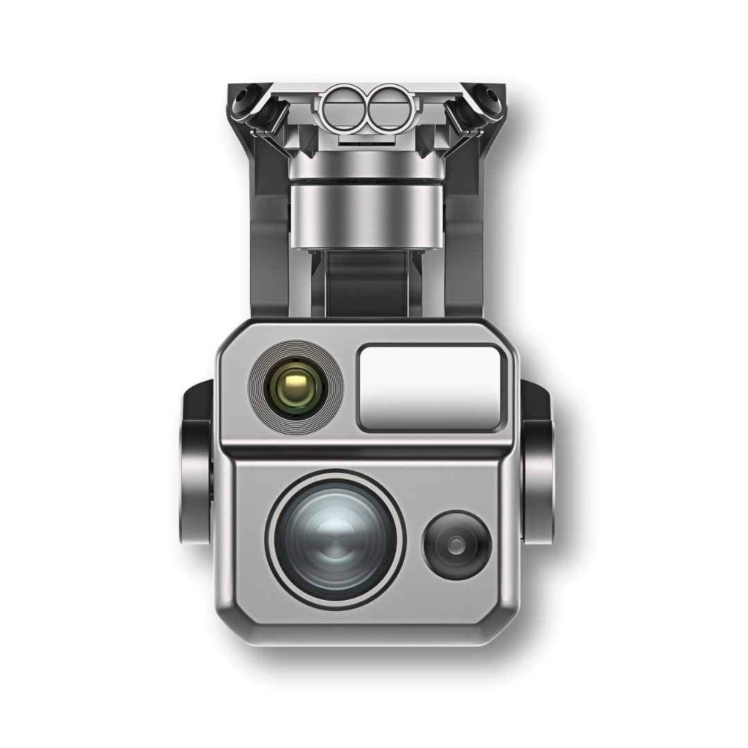
Payloads for Solar Panel Inspection Drones


The DSLRPros Advantage

UAV THERMAL EXPERTS
We are industry leaders in thermal imaging drones. As one of the pioneers in thermal drone technology, our team of experts will help you build a custom solution that meets both your budget and needs.

MISSION SPECIFIC SOLUTIONS
We specialize in the development and delivery of cost effective mission specific enterprise solutions. All our kits are specially designed, assembled, and individually tested for quality assurance in the United States.

AFTER PURCHASE SUPPORT
Our customer service doesn't just end with your purchase; we go the extra mile to make sure our customers have the guidance they need. As our customer, you will know us by name and can count on us for support whenever you need it.
The DSLRPROS Advantage
UAV THERMAL EXPERTS
We are industry leaders in thermal imaging drones. As one of the pioneers in thermal drone technology, our team of experts will help you build a custom solution that meets both your budget and needs.
MISSION SPECIFIC SOLUTIONS
We specialize in the development and delivery of cost-effective mission-specific enterprise solutions. All our kits are specially designed, assembled, and individually tested for quality assurance in the United States.

AFTER PURCHASE SUPPORT
Our customer service doesn't just end with your purchase; we go the extra mile to make sure our customers have the guidance they need. As our customer, you will know us by name and can count on us for support whenever you need it.