Shop senseFly eBee Drones, Parts, and Accessories
-
 senseFly eBee X (without payload)Special Price $11,650.00 Regular Price $13,500.00
 -
 senseFly S.O.D.A. 3DSpecial Price $3,600.00 Regular Price $4,000.00
 -
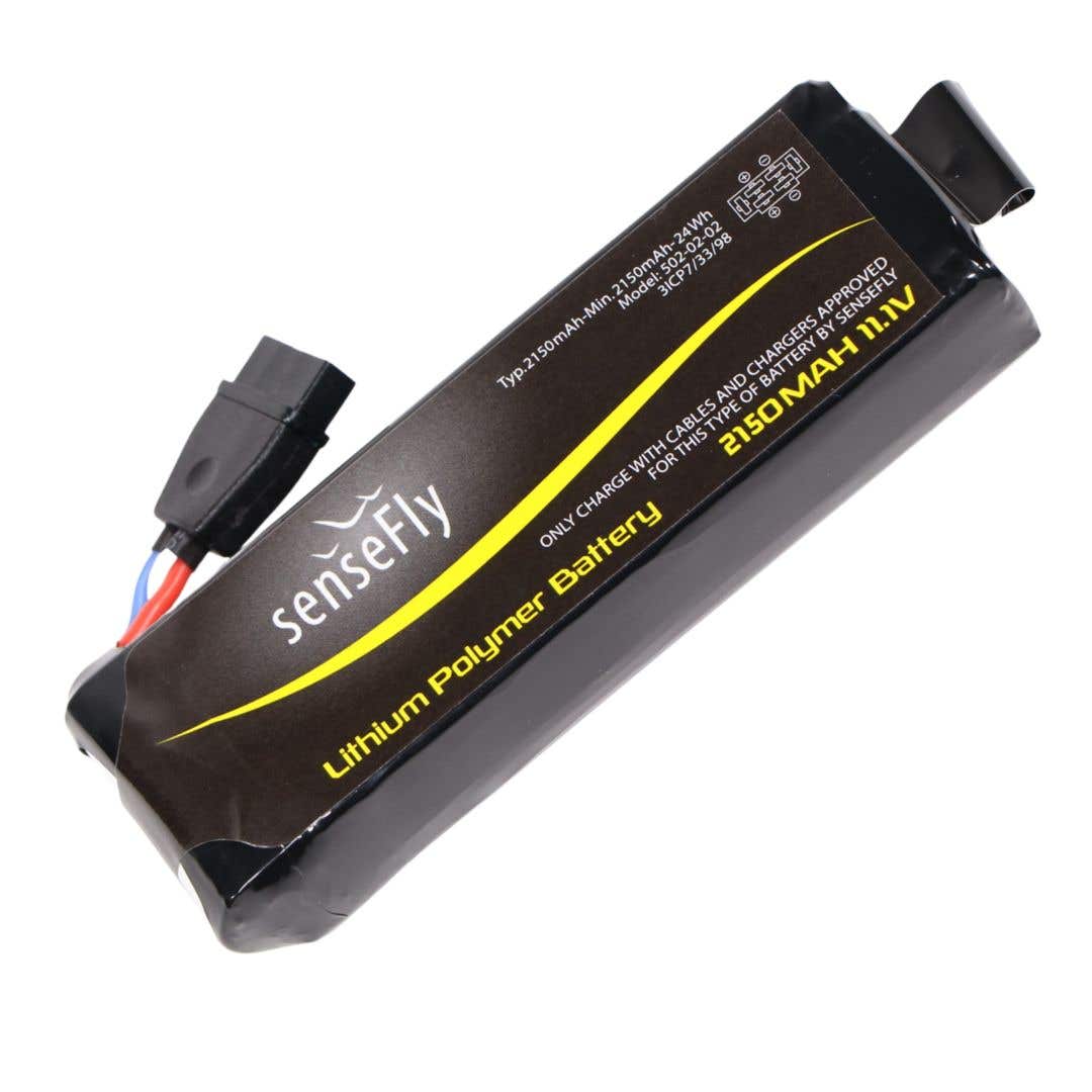
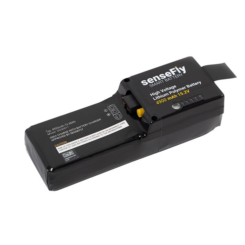 senseFly eBee X Battery EnduranceSpecial Price $390.00 Regular Price $437.00
 -
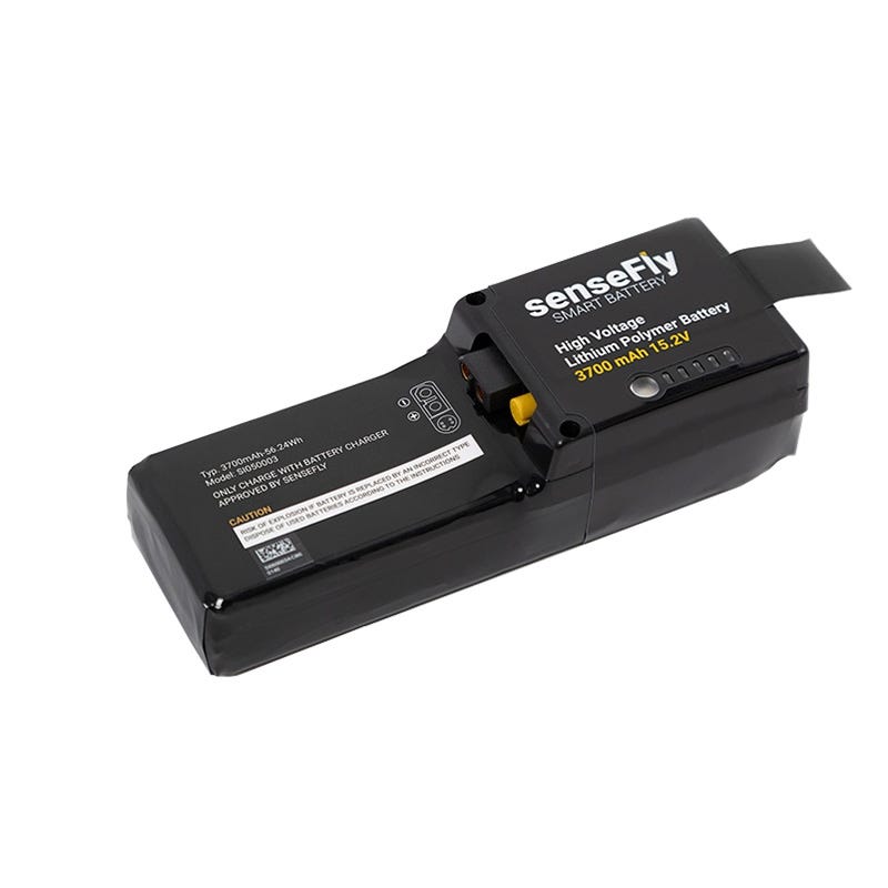 senseFly eBee X Battery StandardSpecial Price $280.00 Regular Price $312.00
 -
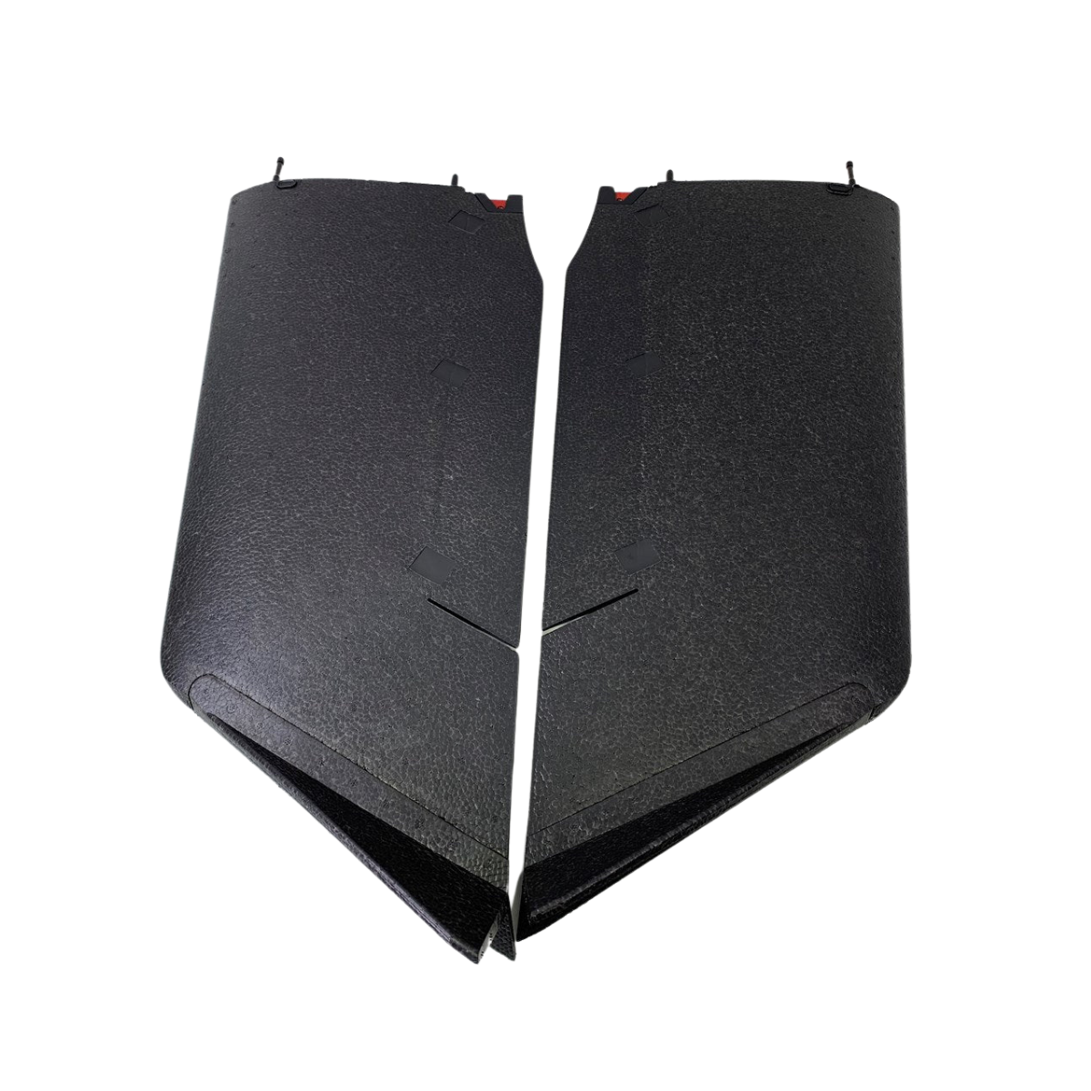
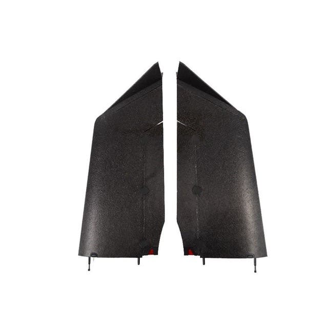 senseFly eBee X Wing (Pair)Special Price $215.25 Regular Price $287.00
 -
 senseFly eBee Classic Wing PairSpecial Price $201.00 Regular Price $268.00
 -
 senseFly eBee Plus S.O.D.A. Integration KitSpecial Price $110.25 Regular Price $147.00
 -
 senseFly eBee Classic Battery$107.00
 -
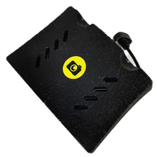
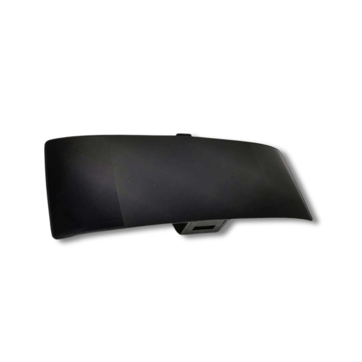
 senseFly eBee Classic Underbody SkinSpecial Price $45.00 Regular Price $60.00
 -
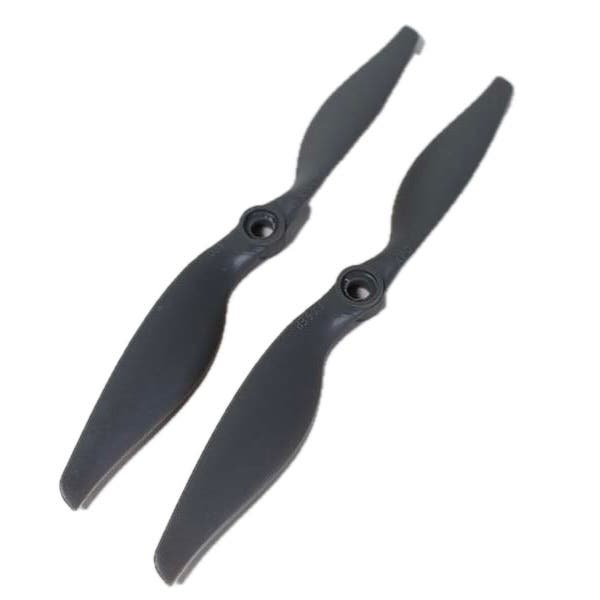 senseFly eBee Classic Propeller (2-Pack)Special Price $20.25 Regular Price $27.00
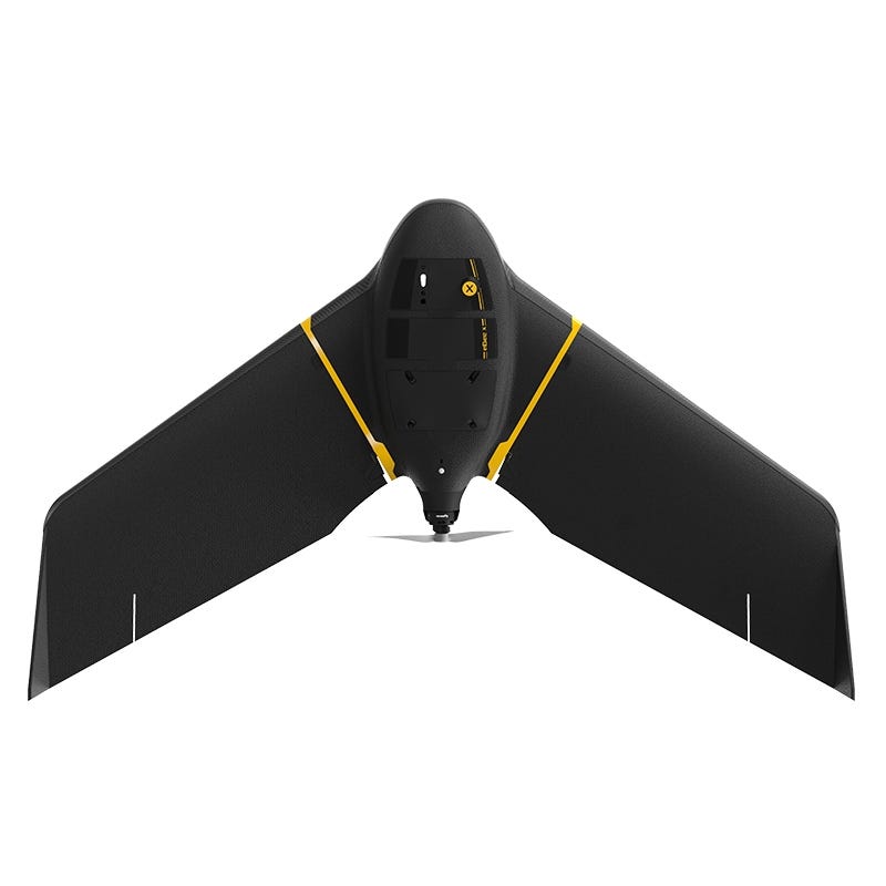
About senseFly eBee X
The eBee X fixed-wing drone is a powerhouse of an autonomous information gathering system. The eBee X has easily swappable camera payloads suited to applications from agriculture to surveying to construction to mining. Its unique pusher prop wing design allows the unmanned aerial system (UAS) to have a maximum flight time of 90 min. This long flight time allows coverage of up to 500 ha (1,235 ac) at 400 ft.
With its easy to use eMotion flight planning software, autonomous flight data gathering has never been easier. Create orthomoasic tater, index maps, 3D point clouds, digital surface models (DSM), 3D mesh with texture, contour lines, Google Maps / Mapbox tiles, and undistorted images with the eBee X.
In standard configuration, the eBee X is capable of 59 minutes of continuous flight, but with the optional add-on of Endurance Extension, you can attain a maximum flight time of 90 min. With this capability, the eBee X can achieve vast coverage of up to 500 ha (1,235 ac) at an altitude of 120m (400 ft). Complete mapping projects in a fraction of the time compared to typical quadcopter systems.
Feel free to give us a call or submit a request info request to get a free quote and to find out more about eBee price and payload options. We accept Purchase Orders from government and educational organizations.
Aircraft and Sensor Payloads
The eBeeX comes in an easy to carry box, each wing and body disassembles into 3 different parts. When put together the body of the eBee X has a 45-inch wingspan. The eBee X takes off from via hand launch and lands on its tough underbody. The eBee X is compatible with the following payload options:
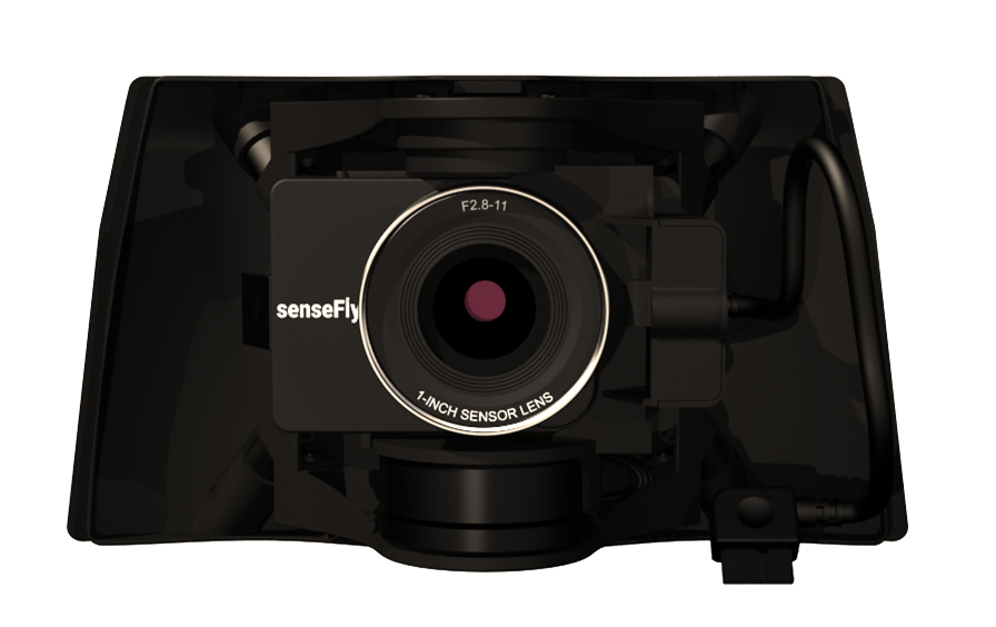
The senseFly S.O.D.A. was the first camera designed for professional drone photogrammetry and has quickly become the industry standard. It captures amazingly sharp aerial images, across most light conditions. These images are then used to produce detailed, vivid orthomosaics and ultra-accurate 3D digital surface models.
The senseFly S.O.D.A. 3D is one step up from the S.O.D.A. in that it changes orientation during flight to capture three images (2 oblique, 1 nadir) for a much wider field of view. It is compatible with Pix4Dmapper, for quick, robust image processing.
The senseFly Aeria X is a drone photogrammetry powerhouse, with the added advantage of offering outstanding image detail and clarity in almost all light conditions.
The senseFly Duet T is a unique dual-camera thermal mapping setup. It can be used to create geo-accurate thermal maps together with digital surface models quickly and easily.
Parrot Sequoia+ is the smallest, lightest multispectral sensor ever released. It captures images across four defined, visible and non-visible spectral bands, plus RGB imagery, in just one flight.
senseFly Corridor is specialized for mapping of linear infrastructure and sites. This is actually a combination of senseFly S.O.D.A./eMotion software. The camera is housed in portrait position, as a result requiring 30% fewer images to map the same linear route, making it that much easier and faster to acquire and process the images to produce a map.