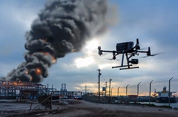
How Can Law Enforcement Agencies Use Drones?
Equip your team with the latest in drone technology, specially curated for public safety applications. We have a range of options designed to suit your budget and operational needs. Our offerings range from DJI’s flagship Matrice 350 RTK, and the agile Teledyne FLIR SIRAS, to the the feature-rich Autel EVO MAX 4T, each with their tailored packages. Explore these and other top-notch solutions here, for law enforcement, search and rescue, and emergency response agencies.

Applications for Public Safety
Public Safety Kits and Bundles
10 Ways Drones Can Benefit Public Safety Agencies
- Rapid Response: Drones can quickly reach emergency sites, providing real-time information to first responders and helping them make informed decisions. This includes:
- Fire departments that use firefighting drones to quickly assess fire scenes, providing information on the fire's spread, potential hazards, and optimal entry points;
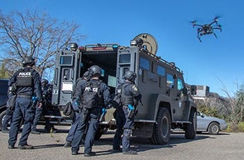
- Law enforcement agencies deploy drones to rapidly assess active shooter or hostage situations, improving response times and tactical planning.
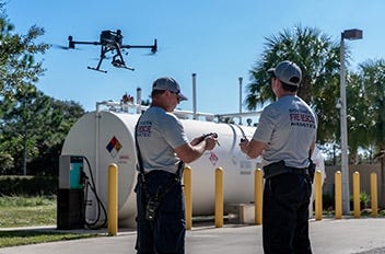
- Improved Safety: Drones can be used in dangerous situations, such as fires or hazardous materials incidents including chemical spills and radiation leaks without exposing themselves to unnecessary risks.
- Disaster response teams use search and rescue drones to scout dangerous or inaccessible areas, reducing the risk to rescue personnel.
- Enhanced Situational Awareness: Emergency medical services use drones to evaluate accident scenes, allowing them to better triage patients and allocate resources. Law enforcement agencies employ drones for aerial surveillance during large public gatherings, helping monitor crowd movement and detect potential threats.
- Cost-Effective: Drones are often less expensive than manned aircraft, providing a cost-effective way for agencies to gather information and respond to emergencies. This also comes in handy for:
- Rural Fire Departments: Rural fire departments with limited resources use drones for aerial support during wildfires, quickly assessing fire spread and planning safe firefighting strategies without the expense of manned aircraft.
- Small Police Departments: Police and law enforcement drones provide a budget-friendly solution for small police departments, offering aerial surveillance during investigations, search operations, or public events without the high costs associated with police helicopters.
- Emergency Management in Remote Areas: In remote regions, emergency management agencies deploy cost-effective drones for post-disaster assessments, victim location, and aid delivery, eliminating the need for expensive manned aircraft or extensive ground teams.
- Increased Accessibility: Drones can easily access remote or hard-to-reach areas, making them invaluable in SAR missions – like Coast Guard and maritime rescue agencies using drones to access and survey rocky coastlines or remote islands in search and rescue operations.
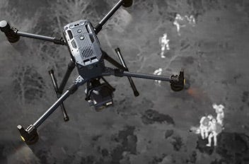
- Extended Operational Hours: Drones equipped with thermal imaging cameras can operate in low-light conditions or at night, extending the operational hours of public safety agencies.
- Border patrol agencies monitoring borders to detect illegal activities;
- Wildlife agencies using the versatility of Mavic 3 Pro for wildlife monitoring, including the monitoring of nocturnal animals to track and protect endangered species;
- SAR operations to locate missing individuals;
- Law enforcement agencies deploying drones to detect illegal drug cultivation or smuggling activities that are prevalent at night.
- High-Quality Data Collection: Drones can capture high-resolution images and videos, as well as other data, providing valuable insights for situations like:
- Accident Scene Reconstruction: Law enforcement agencies use drones to capture detailed aerial images of accident scenes, creating accurate 3D models for analysis. The data aids in determining the cause, assess liability, and improve traffic safety measures.
- Wildfire Damage Assessment: Fire departments and emergency management agencies deploy drones to capture high-resolution images of areas affected by wildfires. That way they can assess the extent of the damage, identify potential hazards, and plan for post-fire recovery and reforestation efforts.
- Forensic Investigations: Forensic teams use drones to capture detailed aerial imagery of crime scenes, creating comprehensive 3D reconstructions for analysis. This helps investigators piece together the sequence of events, identify potential evidence, and assist in solving crimes.
- Flexible Deployment: Drones can be quickly deployed and repositioned as needed, providing flexibility in responding to dynamic situations. For instance:
- Flood Response: In the aftermath of floods, drones can be quickly deployed to assess damage, locate stranded individuals, and help plan rescue efforts. Knowing how drones are saving lives, pilots can swiftly adapt to the changing situation and adjust their flight paths as needed to cover affected areas and respond to emerging needs.
- Protest Monitoring: During large protests or demonstrations, law enforcement agencies can deploy drones to monitor crowd movements and identify potential flashpoints. Drones can be rapidly repositioned to focus on specific areas or follow the crowd, enabling a flexible and real-time response to any emerging security concerns.
- Earthquake Recovery: Following an earthquake, drones can be deployed to assess structural damage, identify unsafe buildings, and help coordinate recovery efforts. As the situation evolves and new areas of concern are identified, drones can be easily redirected to survey new locations and provide updated information to emergency responders.
- Improved Communication: Drones can serve as temporary communication relays, enhancing communication between first responders and command centers during large-scale emergencies. This includes:
- Wildfire Response: During wildfires, drones equipped with communication devices can extend the range of radio signals, allowing firefighters and incident commanders to stay connected even in remote areas.
- Urban Search and Rescue: In the aftermath of earthquakes or building collapses, drones can provide temporary communication relays, helping search and rescue teams communicate with each other in areas with damaged cell towers or communication infrastructure.
- Mass Casualty Incidents: In mass casualty situations, drones can help establish a temporary communication network, enabling emergency medical responders to coordinate triage and patient transport more effectively.
- Public Engagement: Drones can provide live video feeds during public events or emergencies for:
- Community Outreach: Law enforcement agencies use drone footage to showcase their efforts in combating crime and serving the community, enhancing public trust and engagement.
- Environmental Conservation: Capturing footage of protected areas, enabling the agencies to showcase their conservation efforts and raise public awareness about the importance of preserving natural habitats.
- Disaster Preparedness: Emergency management agencies use drones to document their disaster response training and exercises, sharing the footage with the public to raise awareness about the importance of disaster preparedness and community resilience.
What Are The Best Drone Packages for Public Safety Uses?
The best drone packages for your public safety program depend on your primary usage scenarios. A common public safety use case that drones are ideally suited for is Search and Rescue. SAR operations can be very time-consuming and difficult for teams on the ground to efficiently cover large areas in their search for lost, injured, or distressed individuals. In contrast, drones can quickly cover large areas faster and more efficiently with the use of thermal cameras to locate the subjects and assess their status. Drones can be used to send actionable data regarding location and environmental conditions back to the ground crew to ensure the right kind of help arrives as quickly as possible.
Blue UAS for public safety
At DSLRPros, you can also find Blue UAS. These are drones that have been evaluated and approved by the Defense Innovation Unit of the Department of Defense. As drone products are recommended for use by the US government, you can rest assured that these units under the blue UAS list are reliable tools for various tasks, including maintaining public safety, conducting routine patrol, responding to emergencies, and enhancing physical security through surveillance. Get started by exploring the Parrot ANAFI USA (GOV Edition) whose development was a collaboration between Parrot and the US Army.
Applications for Public Safety Drones
How Can First Responders Use Drones?
Public safety agencies have come to rely on drones for missions of all kinds - to accomplish tasks that would otherwise be impossible without them. Drones afford an aerial perspective and other advanced capabilities that Police, Fire, SAR teams, and other Public Safety and First Responders can benefit from. When every moment counts, search and rescue drones can fly to cover large areas that would take much longer for ground teams to cover, and can access areas too dangerous for manned aircraft. Thermal cameras from companies such as FLIR and DJI can be used to easily pick out individuals from among the terrain based on heat signature- even at night, in dense foliage, or in foggy conditions.
Drones help firefighters to monitor a fire scene, allowing them to get the entire picture from above in a way not possible from the ground. Operators can use thermal cameras to locate and monitor hotspots and direct crews in fighting any ongoing blaze more safely and efficiently. In addition, thermal cameras offer the added advantage of being able to “see” through the smoke or in poor lighting conditions.
In the event that bridges or roads become impassable, drones can continue to provide emergency workers with vital information they need to locate survivors and bring aid in a timely manner. Drones can be used to deliver life-saving supplies such as food, water, radios, and more. Aerial mapping capability is also a critical asset for post-disaster reconstruction efforts.
What Public Safety Drone Technologies and Packages Are Available?
We know you're always on the lookout for the best equipment to help you safeguard the public and manage emergencies. Drones have become an essential tool for law enforcement, search, and rescue operations, and even firefighting. At DSLRPros, we understand the importance of providing drones that are both high-quality and budget-friendly. That's why we offer a range of drone packages to meet the needs of any public safety organization.
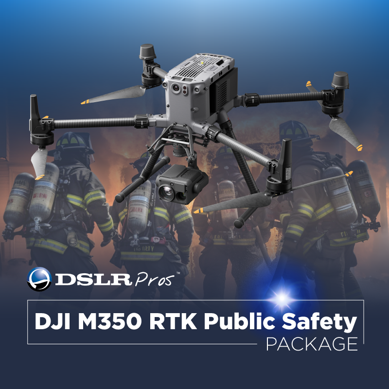
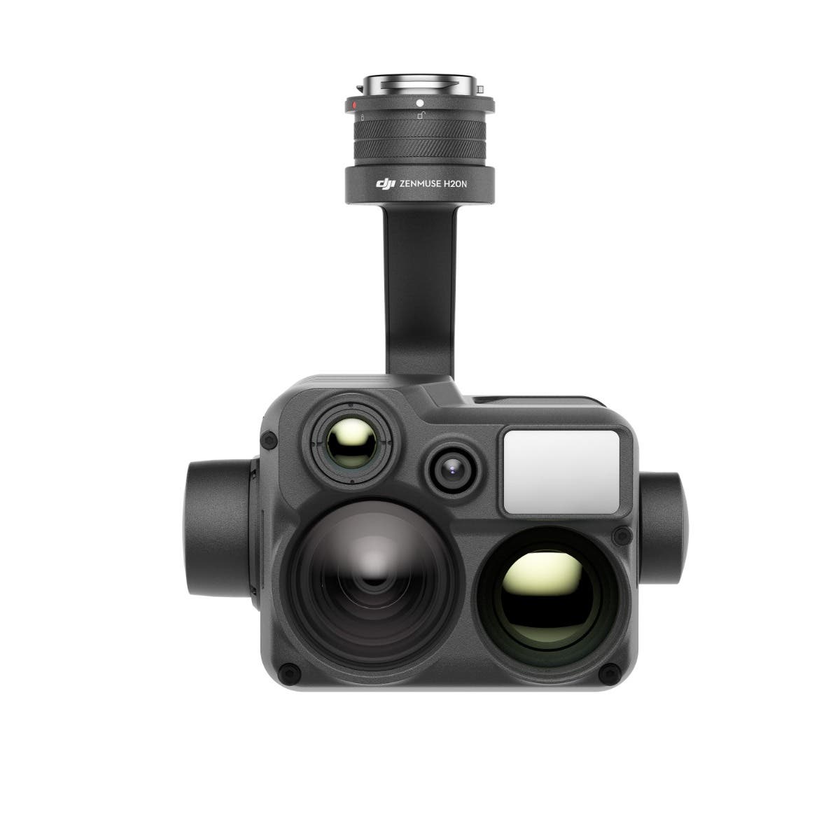
When searching for the top public safety drones, consider the drone's camera capabilities, battery life, transmission range, and safety features. For search and rescue operations, drones with thermal cameras are invaluable. You get this with solutions such as the DSLRPros Matrice 350 RTK Public Safety Package. Launched in 2023, the M350 RTK is an asset for first responders and police agencies alike. You get a drone with dual-operator capability and a rugged case, allowing you to fly for hours without worry. Its 6-directional sensing ensures that your drone is always aware of its surroundings. And as an added bonus, when you invest in this package, you also get a day of free in-person training.
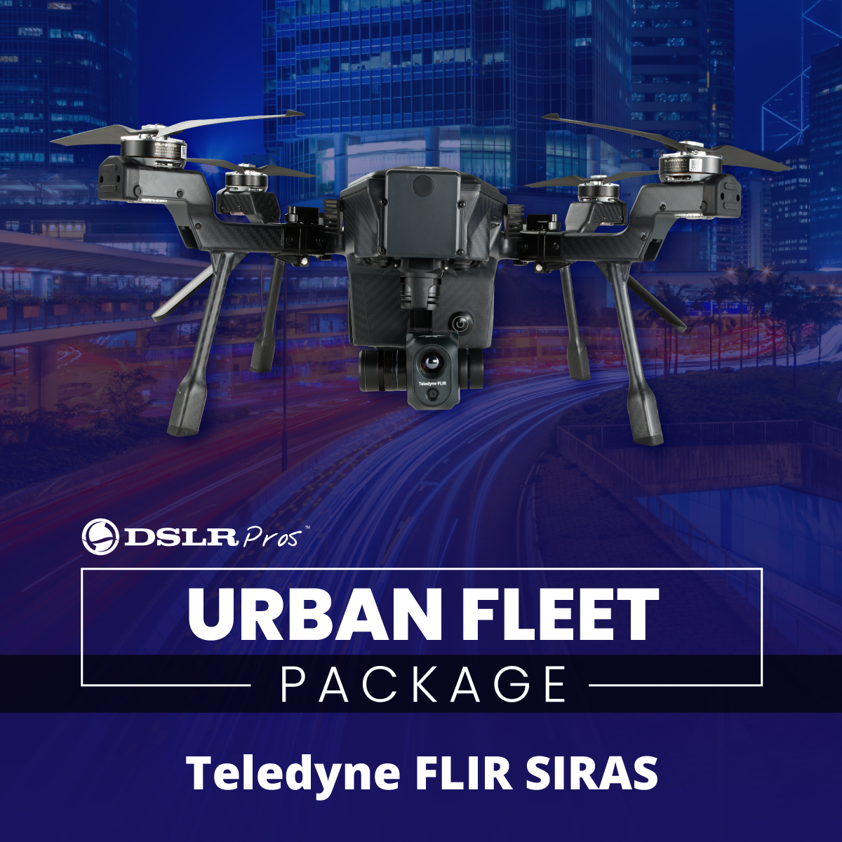
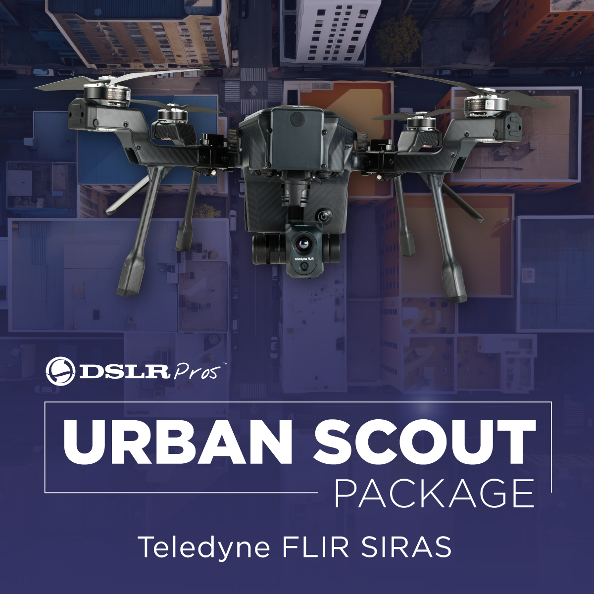
Budget constraints? Don't worry. We understand that not every department has deep pockets, and that's where affordable police drones come into play. The Teledyne FLIR SIRAS Combo gives you the luxury of having no geofencing with dual thermal & visible cameras. It takes off in less than 60 seconds, ensuring that in emergency situations, you're airborne without delay.
For those looking for a compact yet powerful drone, the Autel EVO MAX 4T Bundle is a great choice. This drone takes off in just 15 seconds making it perfect for time-sensitive operations, and features a 640 x 512 thermal camera with 30 fps and 16x digital zoom. It also has an 8K camera with 10x optical zoom and 160x max hybrid zoom, as well as a 4K 30fps wide camera with Moonlight Algorithm 2.0 for enhanced low-light performance. Moreover, it can navigate even in GPS-denied environments - a major plus for complex rescue missions.
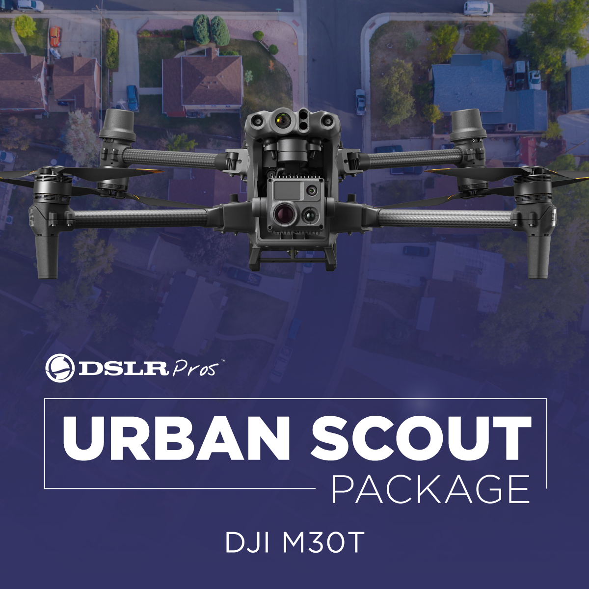
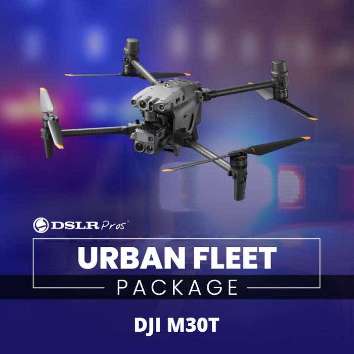
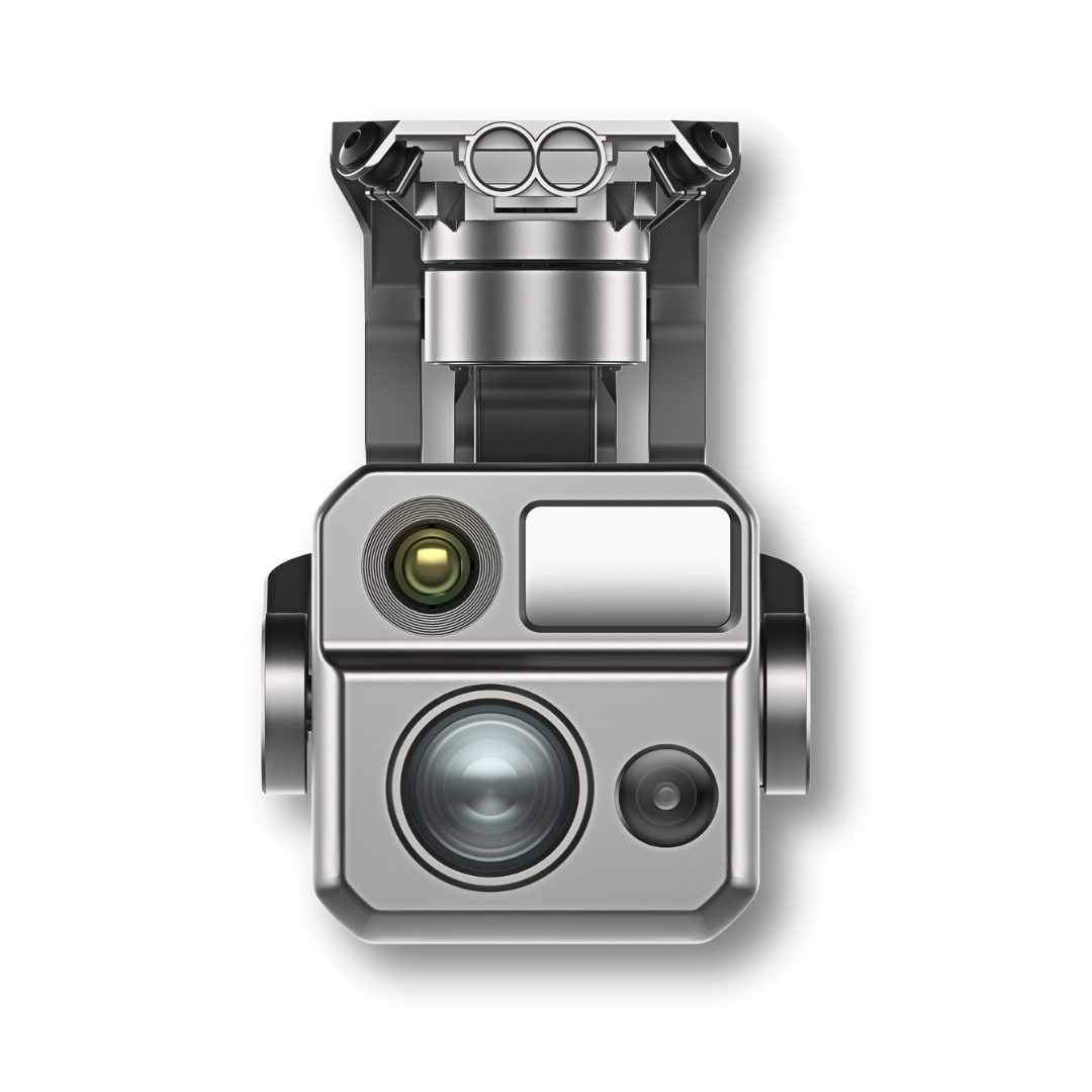
With the DJI Matrice 30 + TB30*2 + DJI Care Basic you get a reliable and versatile platform with sensors that detect obstacles in six directions, an IP55 weather rating, and an emergency landing capability even with just three propellers. The smart BS30 charging case enables rapid battery charging, and the built-in AES encryption ensures data security. That's reliability right there! With dual cameras and a laser rangefinder, this drone provides comprehensive aerial intelligence, making it one of the best drones for search and rescue missions.
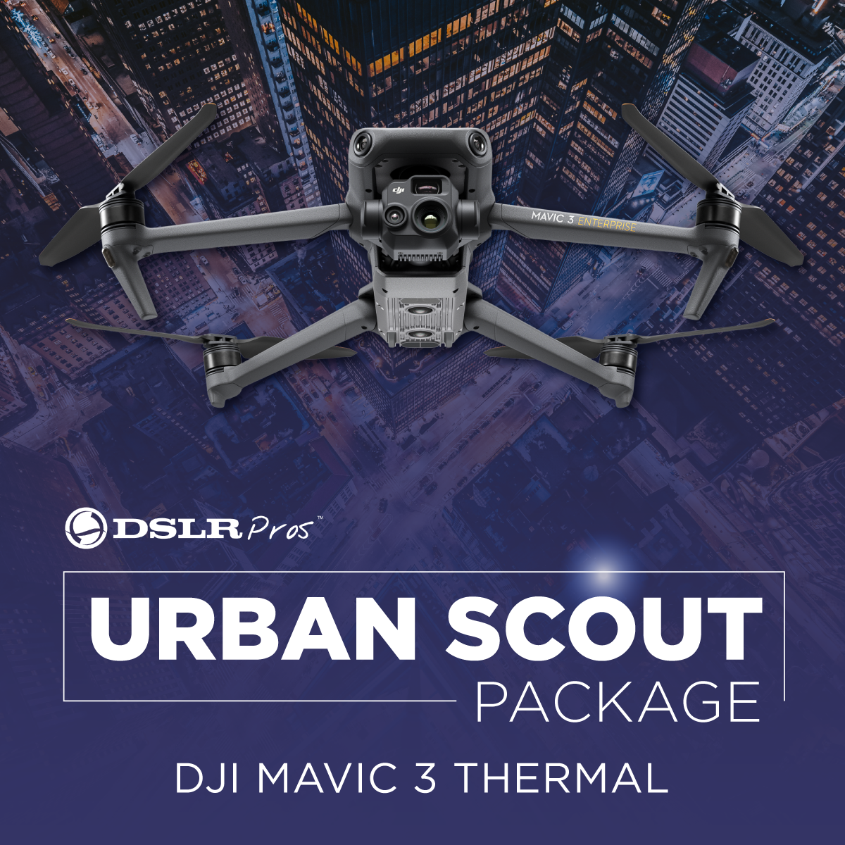
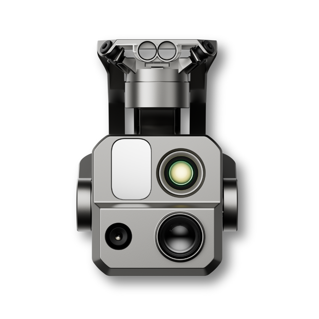
Another gem in the lineup is the DJI Mavic 3 Thermal (Care Basic). This drone comes equipped with sensors that detect obstacles in six directions, an IP55 weather rating, and emergency landing capability with three propellers. It also includes a smart BS30 charging case for rapid battery charging and AES encryption on SD cards for added security.
Finally, the Autel EVO II Dual 640T Enterprise Bundle V3 is a compact powerhouse. It comes with a high-resolution thermal camera and an ultra-sensitive 50MP visual camera. With 360-degree obstacle avoidance, a 38-minute maximum flight time, and a SkyLink 2.0 video transmission range of up to 15 km, this drone provides maximum performance while ensuring uncompromised safety.
DSLRPros Public Safety Spotlight
Finding a Missing Snowboarder Using The DJI Matrice 30
Above The Flames
Alaska DOT&PF's Experience with DJI Dock
DSLRPros Training Program - Del Valle Training Center
DJI Mavic 3 Thermal, Firefighters, and Rescue Dogs
DSLRPros - Southern California Regional UAS Training Event
A Discussion on Drones In Law Enforcement with Law Enforcement Drone Association (LEDA)
Crash scene reconstruction with the DJI Mavic 3 Enterprise and DJI Terra
Bring a whole new level of efficiency to the operations of your public safety agency with cutting-edge drone technology. Explore our offerings and find the drone that's right for your needs. Questions? Contact our support team at (877) 299-1075 or (213) 262-9436, or email sales@DSLRPros.com. We're here to help!
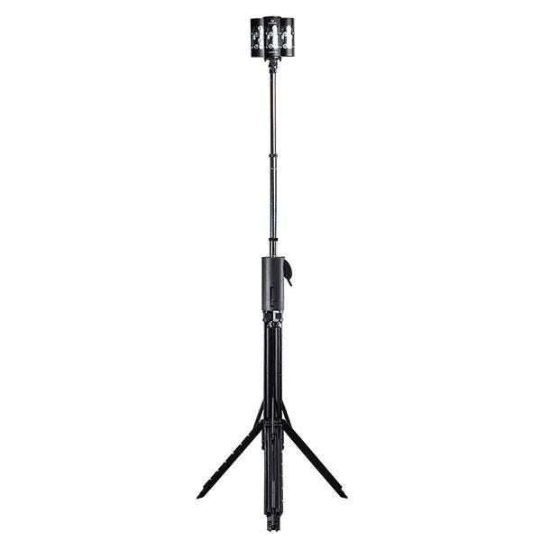
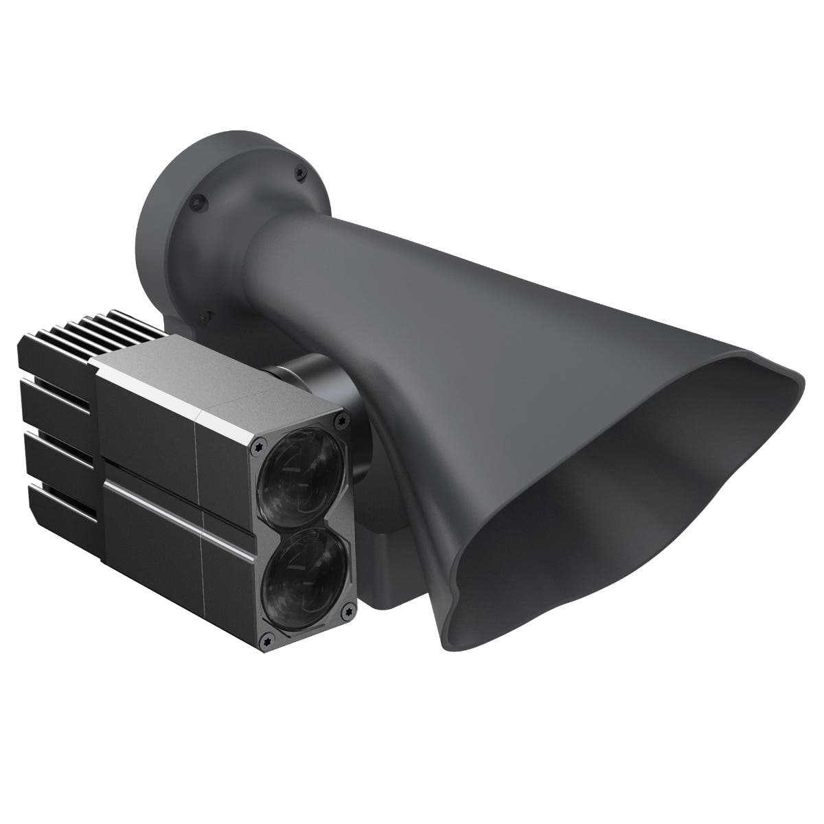
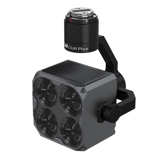
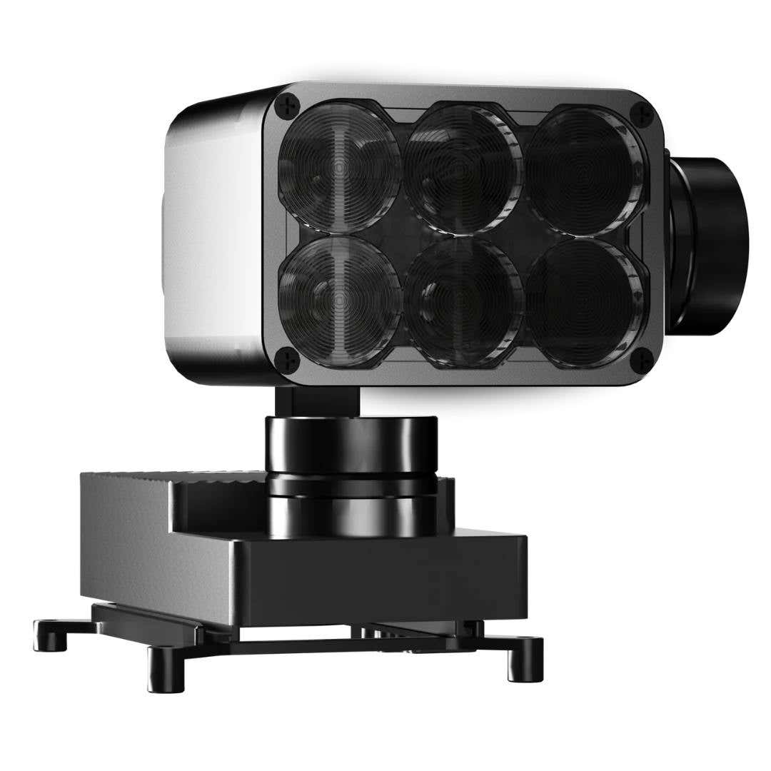
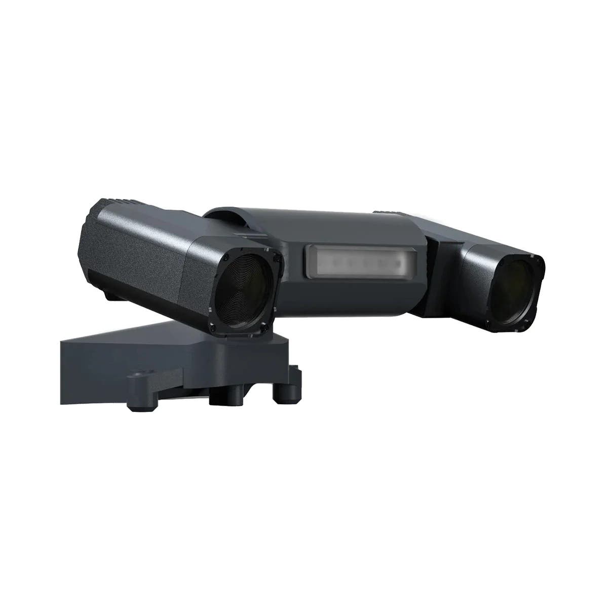
Payloads for Public Safety Drones

The DSLRPros Advantage

UAV THERMAL EXPERTS
We are industry leaders in thermal imaging drones. As one of the pioneers in thermal drone technology, our team of experts will help you build a custom solution that meets both your budget and needs.

MISSION SPECIFIC SOLUTIONS
We specialize in the development and delivery of cost effective mission specific enterprise solutions. All our kits are specially designed, assembled, and individually tested for quality assurance in the United States.

AFTER PURCHASE SUPPORT
Our customer service doesn't just end with your purchase; we go the extra mile to make sure our customers have the guidance they need. As our customer, you will know us by name and can count on us for support whenever you need it.
The DSLRPROS Advantage
UAV THERMAL EXPERTS
We are industry leaders in thermal imaging drones. As one of the pioneers in thermal drone technology, our team of experts will help you build a custom solution that meets both your budget and needs.

MISSION SPECIFIC SOLUTIONS
We specialize in the development and delivery of cost-effective mission-specific enterprise solutions. All our kits are specially designed, assembled, and individually tested for quality assurance in the United States.

AFTER PURCHASE SUPPORT
Our customer service doesn't just end with your purchase; we go the extra mile to make sure our customers have the guidance they need. As our customer, you will know us by name and can count on us for support whenever you need it.