
Shop Drone LiDAR Cameras

-
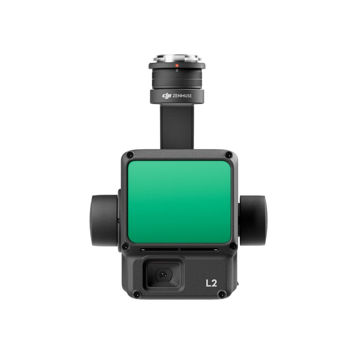
 DJI Zenmuse L2 LiDAR Camera with Care Enterprise Plus
As low as $13,560.00
-
 DJI Zenmuse L2 LiDAR Camera with Care Enterprise Basic 2-Year
As low as $12,995.00
-
 DJI Zenmuse L2 LiDAR Camera with Care Enterprise Basic
As low as $12,430.00
Unlock the potential of drone LiDAR systems in aerial operations
LiDAR, short for Light Detection and Ranging, is a cutting-edge technology that measures distance by hitting a target with a laser and analyzing the reflected light. This technology, when mounted on drones, transforms aerial surveys and mapping, providing detailed and accurate 3D representations of the surveyed areas.
Drone LiDAR systems are revolutionizing industries by offering unparalleled precision and efficiency in data collection.
The game-changer: DJI Zenmuse L2
Among the leading tools in this technological revolution is the DJI Zenmuse L2. This LiDAR module, designed for drone operations, integrates advanced LiDAR capabilities with a powerful imaging sensor. The result is high-precision 3D data, even in challenging environments, making it a go-to choice for professionals seeking reliability and quality.
Why drone LiDAR?
- Speed and efficiency: Drone LiDAR systems can cover large areas much faster than traditional survey methods, significantly reducing the time and labor involved.
- Accuracy and detail: They provide highly accurate data, capturing fine details that are often missed by other methods. This precision is crucial for applications such as environmental monitoring, construction, and urban planning.
- Versatility: LiDAR drones are adaptable to various environments, from dense forests to urban landscapes, offering clear insights where other technologies might struggle.
- Cost-effectiveness: By reducing the time and manpower needed for surveys, drone LiDAR systems offer a cost-efficient alternative to traditional surveying methods.
Applications across industries
Drone LiDAR technology is not just about capturing data; it's about unlocking new possibilities across multiple sectors.
From creating detailed topographical maps for construction projects to monitoring forest health and aiding in disaster management, the applications are as varied as they are impactful.
LiDAR drones at DSLRPros
The integration of LiDAR technology into drone operations marks a significant leap forward in how we collect and analyze geographical data. With systems like the DJI Zenmuse L2, professionals have access to a tool that offers precision, efficiency, and versatility.
Whether it's for mapping, surveying, or environmental monitoring, drone LiDAR systems are setting new standards for accuracy and detail in aerial data collection.
Explore our range of drone LiDAR solutions to discover how these advanced systems can elevate your operations to new heights of precision and efficiency.